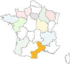

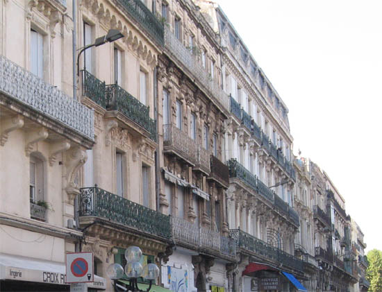
Occitania
Sète
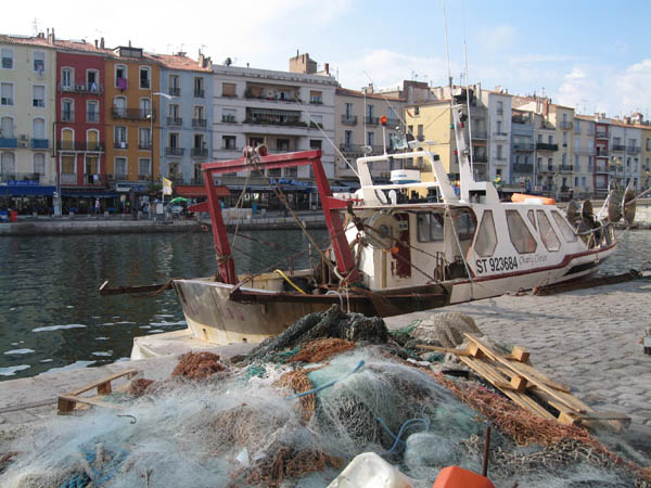
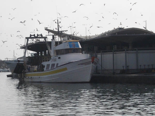
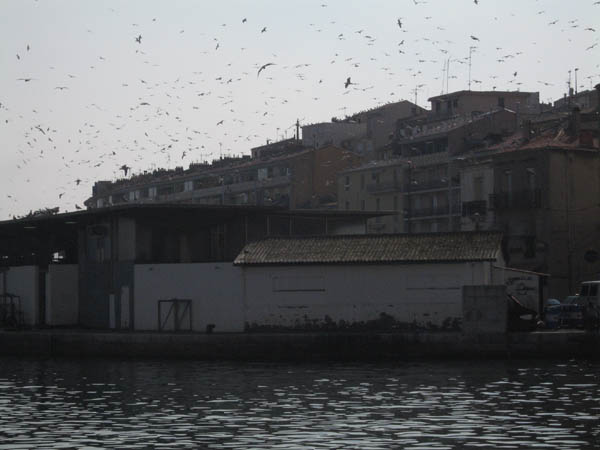
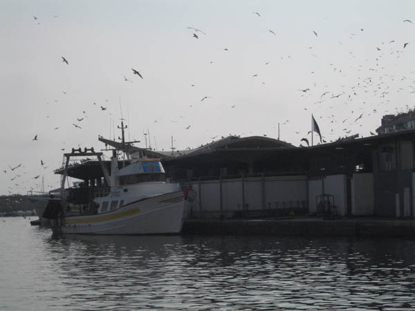
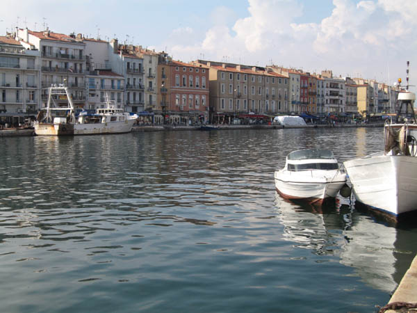
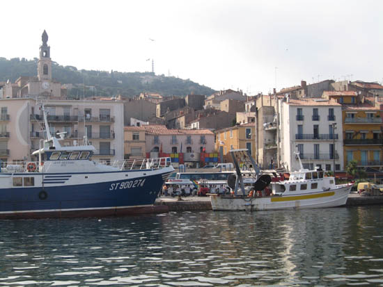
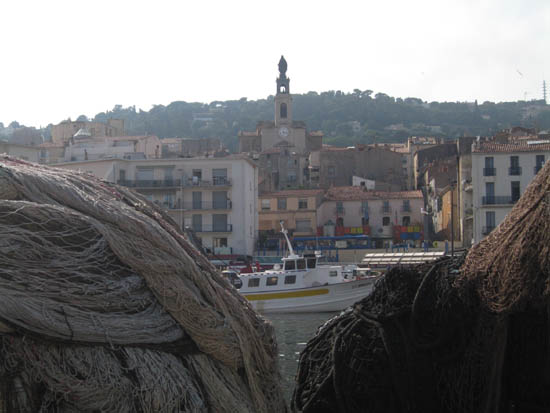
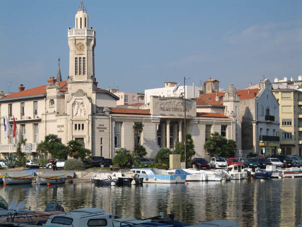
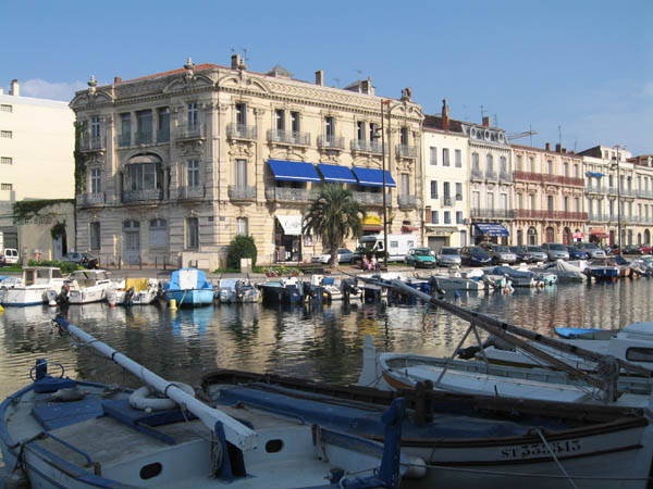
Sète
The zone of Sète was inhabited under the Roman Empire, the mountain of Sète was used as geographical reference point for the Mediterranean sailors. Den and refuge for the navigators since antiquity, this hill was a long time a site snuffed until the construction of the port and the city in the XVIIth century. Before, the hill was very few populated. Only some fishermen of the close villages came to continue some fish benches on banks of the pond of Thau.
The Mount St-Clair was also used as refuge by pirates. From the XVIIIth, the hill increased with small stone constructions, known as "small barracks". The tradition wanted that on Sunday, the families climb on the hill to spend the day there.
The Mount St-Clair was also used as refuge by pirates. From the XVIIIth, the hill increased with small stone constructions, known as "small barracks". The tradition wanted that on Sunday, the families climb on the hill to spend the day there.